Bonaire, with a population of less than 26,000, consists of two main towns and a number of neighborhoods. In the newer district, many vacation homes can be found.
The flag of Bonaire shows a compass rose with a six-pointed star. These six points represent Bonaire’s original settlements:
- Playa
- Tera Korá
- Nikiboko
- Antriol
- Nort’i Salinja
- Rincon
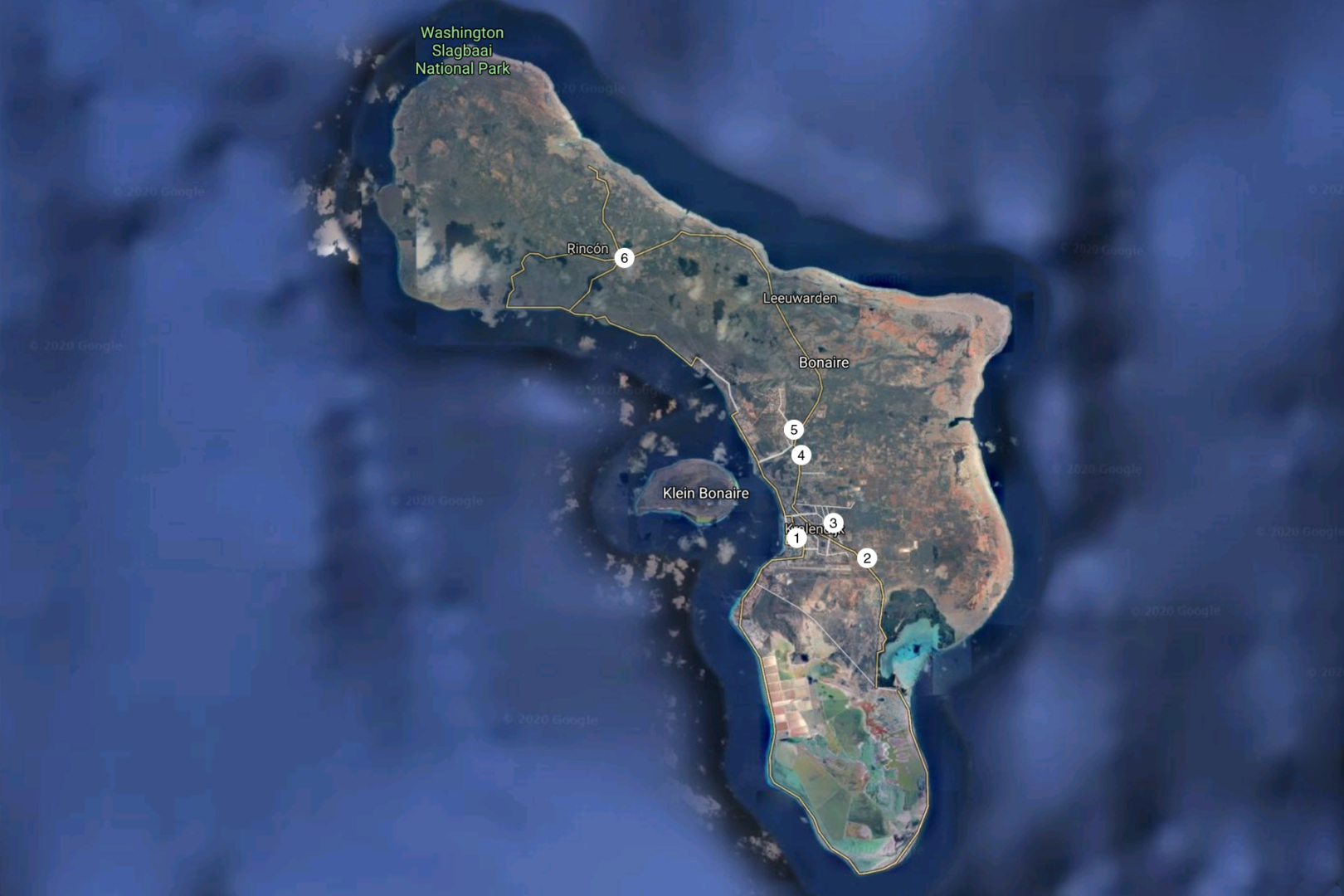
The first five have now virtually grown together through expansion and together form the island’s main town, Kralendijk. The numbers correspond to the numbers on the map at the bottom of this page, supplemented by:
- Republiek
- Santa Barbara
- Sabadeco
- Belnem
- La Palma
- Sabalpalm
- Punt Vierkant
- Playa Esmeralda
- Laguna Marina
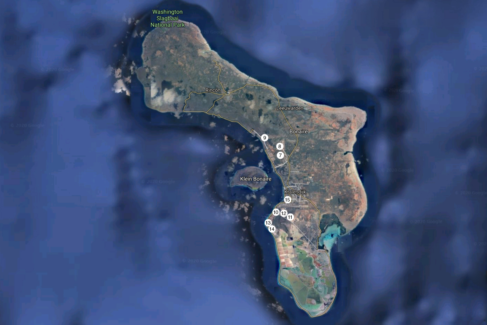
The links under the neighborhood names, resorts and condominiums, go to summary pages of Sunwise’s accommodations, in those locations.
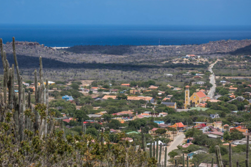
Hidden Settlement
Rincon, the oldest village of the island and the Caribbean islands in the Kingdom of the Netherlands, was founded in 1527 by the Spaniards, in the north of the island, between the hills, out of sight of the then many ‘Pirates of the Caribbean’.
Picture: WeShareBonaire
The expansion areas
On the hill in the north of Kralendijk, behind the old Norte di Salinja, for example, lie the districts of Republiek and Santa Barbara. Part of Santa Barbara is the part that runs along the coast, towards the north, spacious and generally with very luxurious homes. This part is popularly called Sabadeco, which is actually an abbreviation for the Santa Barbara Development Corporation NV, the issuer of the land there.
Picture: WeShareBonaire
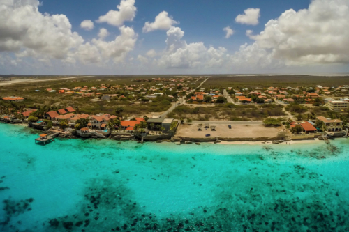
Harry Belafonte and Belnem
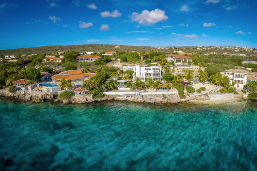
Another, relatively new, neighborhood is located towards the south, past the airport and towards the salt pans: Belnem. According to tradition, this neighborhood was named after the famous American singer-songwriter Harry BELafonte and his partner Maurice NEMe, who built the first houses here. Belnem has now expanded to include the luxury residential neighborhoods of La Palma, Sabalpalm Villas, Lima, Punt Vierkant and Playa Esmeralda..
Picture: WeShareBonaire
Luxury resorts and apartments
Further, on the road to Rincon, the district of Bona Bista was built a few years ago and this district will also be further expanded in the coming years, up the hills.
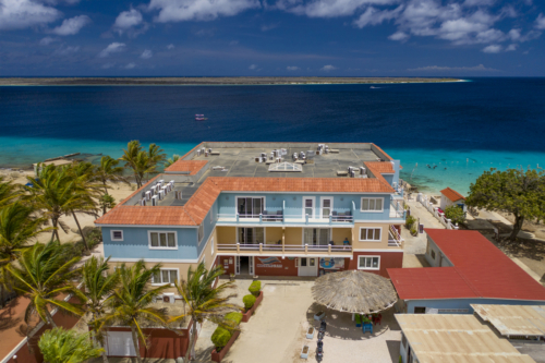
Playa (beach) is the name for the original center of Kralendijk. On the north side of Playa is the district of Hato, which includes a number of luxury apartment buildings, such as: Den Laman Condominiums, Seaside Apartments, Playa Lechi Residence and Seaside Suites
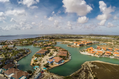
Laguna Marina, lagoon of Kralendijk
Toward the south, near Flamingo Airport, is an excavated lagoon called Laguna Marina, with a number of peninsulas with resorts:
In addition, the complex Port Bonaire is situated at this Laguna Marina (picture: WeShareBonaire).
The cozy “working-class” neighborhoods
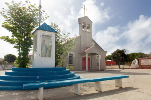
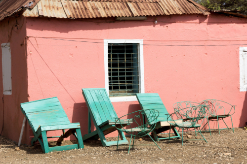
Nort’i Salinja, or “north of the salt lake,” is indeed north of the salt flats. Many inhabitants here are descendants of the Caiquetio Indians who were the first to settle here in the past. Tera Korá, means “red soil. During the time of slavery, people who had to work in the salt pans were housed here. Nowadays it is mainly a pleasant working-class neighborhood with permanent residents, mostly born on Bonaire.
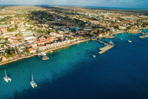
The largest original districts
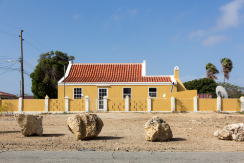
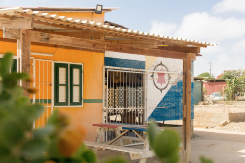
The remaining, original residential districts on Bonaire, have relatively few vacation homes and have mostly permanent, often Bonaire-born residents. The Antriol district lies furthest inland from Playa (on the coast) and has the most residents of all the original districts. The name, according to tradition, is a corruption of the Spanish ‘al interior’, which in this context means ‘inland’. Nikiboko, currently the second largest district, covers the entire east side of Kralendijk and in this district and Antriol together, about half of all permanent residents of Bonaire live.
Very interesting information. Nice to know, because we stay every year some month on the island Bonaire. The history interested us.
Hi Harmen, thank you for your kind comments on this blog post. We try to contribute to even wider knowledge about Bonaire, among our beloved guests!